Service Area

Drone Photography in Jordan

Wedding, winery and country-property aerials in the Twenty Valley, from a pilot based just down the road.

Advanced RPAS Certified·Minutes from our Beamsville base·Discreet wedding flights

Two communities and one valley

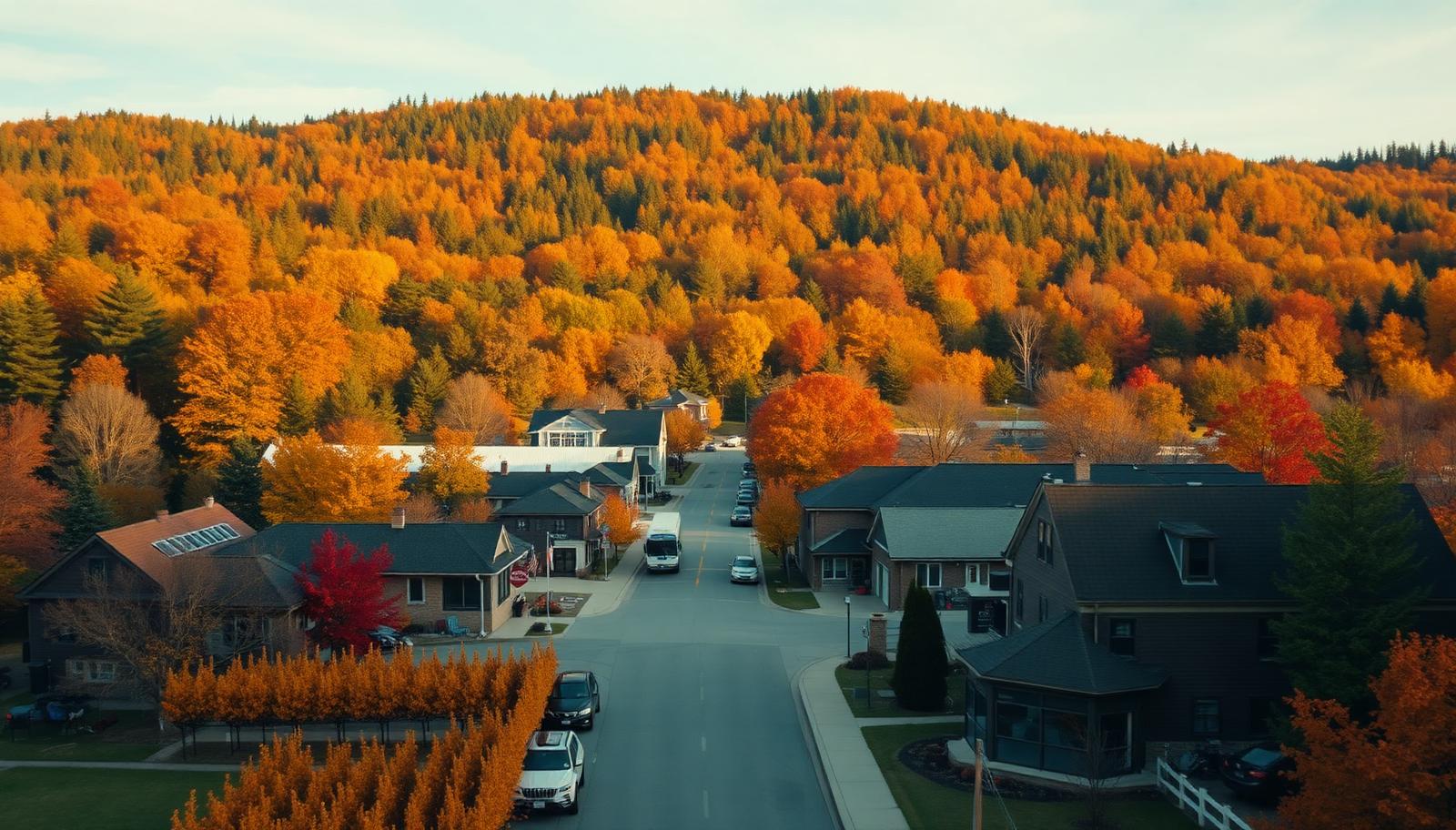
Jordan is part of the Town of Lincoln, but it has a character all its own, and it is really two places. Jordan Village is the one most visitors know: a heritage main street of older homes and storefronts, compact enough to walk end to end. Jordan Station is the quieter side, more rural and agricultural, with farms and open land stretching out around it.

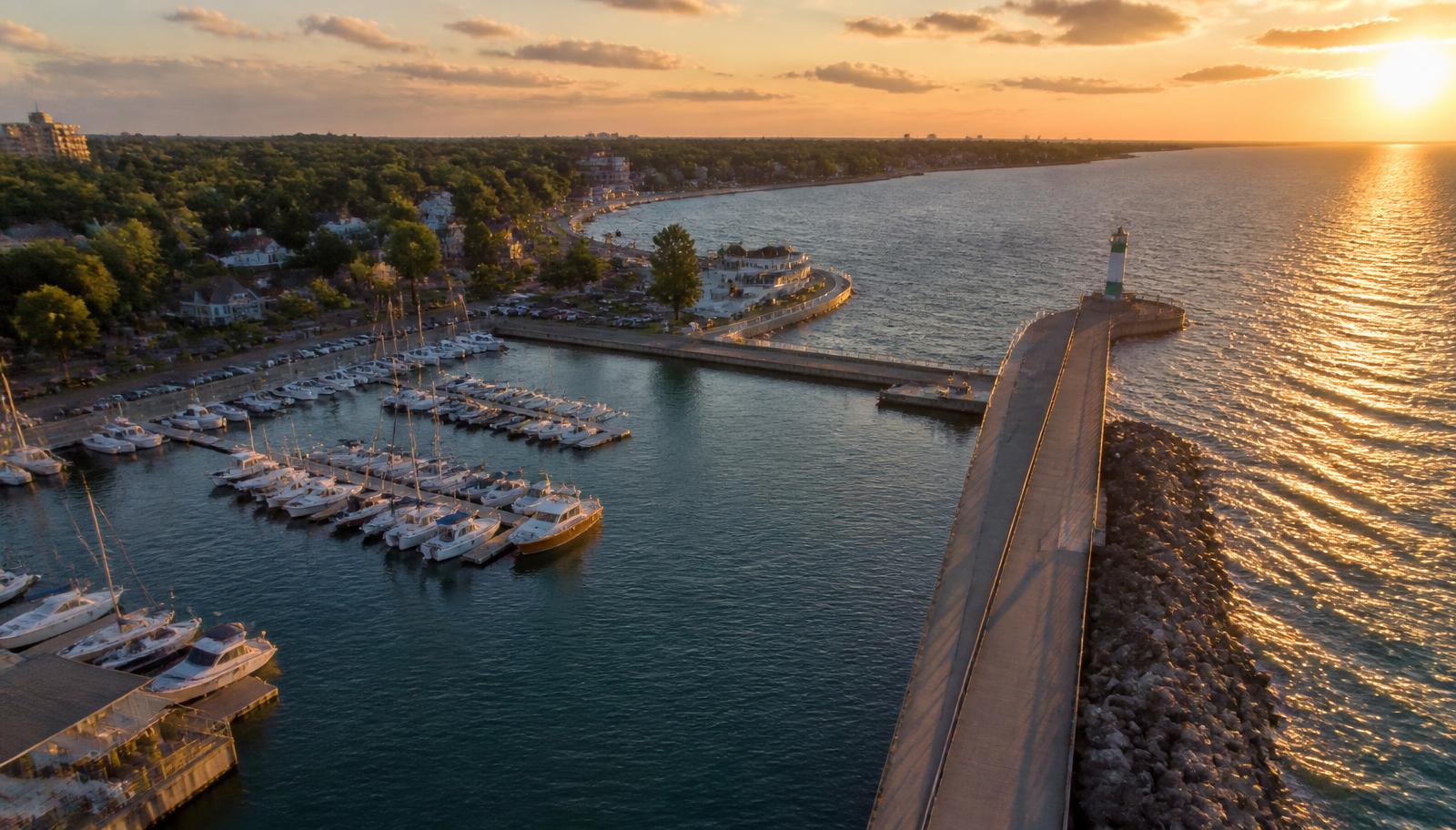
What ties them together is the landscape. Twenty Mile Creek cuts a valley through the area on its way to Lake Ontario, where it empties out at Jordan Harbour. Above that, the Bench rises toward the escarpment, covered in vineyards, winery estates and event spaces. This is the heart of the Twenty Valley wine region, and almost every property here sits somewhere along that slope from escarpment to lake.

That is exactly what a drone is good at showing. From the ground, a vineyard is rows and a wedding is a crowd under a tent. From the air, you see the creek valley winding past, the escarpment behind, and the way the land falls toward the water. Those wide views are what make a Jordan property or celebration feel like it belongs to this valley and nowhere else.

We are a family-owned business based in Beamsville, just a few minutes away. We know this stretch of the Bench well, there is no travel fee, and every quote is free.

What we shoot in Jordan

Winery and vineyard marketing

Twenty Valley wineries sell an experience as much as a bottle, and the setting is a large part of it. We fly the estate, the vineyard blocks and the view toward the lake or up to the escarpment, then deliver stills and short clips for websites, social media and tourism listings. Through our commercial service we can also refresh the set each season, so your imagery keeps pace with the vines.

Weddings and events in the Twenty Valley

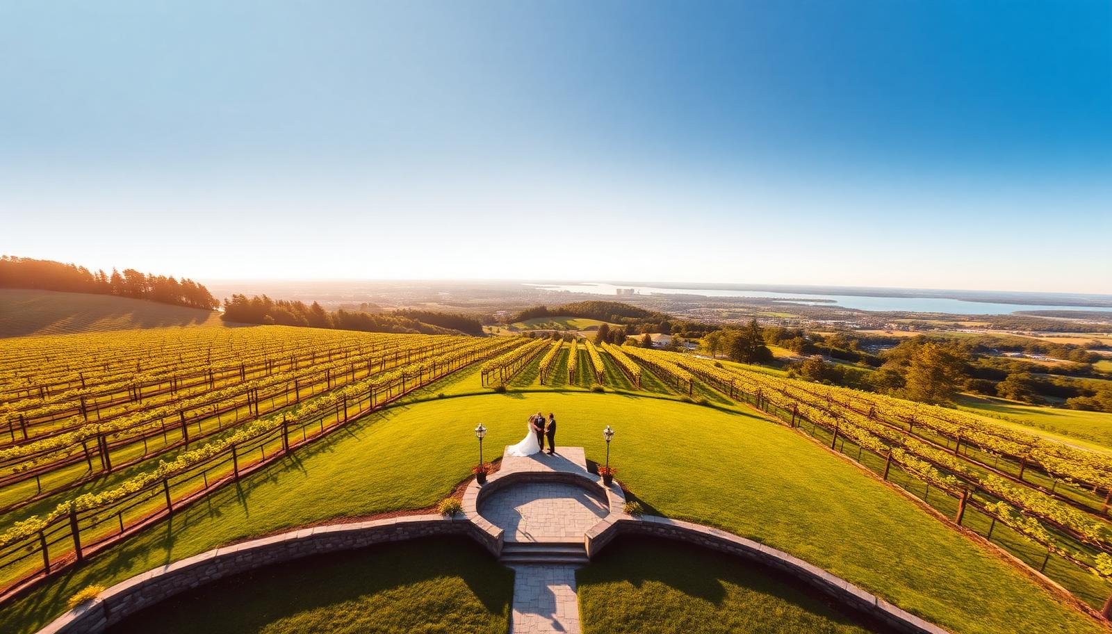
For weddings and events, we coordinate with the venue and your photographer well before the day. We plan our shots around the ceremony timeline, keep the drone discreet and at a respectful height, and save the big, sweeping moves for moments when they will not pull attention from the couple. The result is wide views of the setting that ground cameras simply cannot reach.

Country estates and farm property

Country estates near the village and farms around Jordan Station are best understood from above: lot lines, outbuildings, fields, tree cover and the creek valley nearby. Our real estate aerials also suit heritage homes and storefronts in Jordan Village, where a high shot shows a building in the context of the whole main street.

Jordan airspace: simple, but never assumed

Most of Jordan is straightforward rural airspace, which makes it a relatively easy place to plan a flight. Easy does not mean unchecked. Before we confirm any Jordan booking, we check the exact address on NAV CANADA's drone site-selection map, so we know what applies to that property before the date is set.

People shape the plan here more than regulations do. At weddings and winery events, we map out where guests will be and plan our flight paths around them rather than over them. We also get permission from the landowner and the venue before every flight, so nobody on site is surprised to see a drone in the air.

Ball's Falls Conservation Area is nearby, and it is conservation authority land. We do not launch or land there without permission. If your shoot involves views toward it, we plan our launch point on the property we have been invited to use.

We hold a Transport Canada Advanced RPAS certificate and fly registered aircraft. In Jordan that mostly means confidence and careful planning, and it means the same pilot can handle jobs elsewhere in the region where controlled airspace near the Hamilton and St. Catharines airports comes into play.

Areas we cover in and around Jordan

  • Jordan Village and its heritage main street
  • Jordan Station
  • Jordan Harbour
  • The Twenty Mile Creek valley
  • Twenty Valley winery estates
  • Vineyards on the Bench below the escarpment
  • Country estates around the village
  • Farms and agricultural land around Jordan Station
  • Properties near Ball's Falls Conservation Area

Common questions

Usually yes, with the venue's permission. We confirm airspace and the venue's rules before the date, so there are no surprises on the day.
We work to keep it out of the way. We coordinate with the venue and your photographer, plan shots around the ceremony timeline, and keep the drone discreet during the moments that matter most.
Yes. Showing a property against the Twenty Valley, the vineyards on the Bench and the escarpment behind is one of the main reasons to fly in Jordan. We pick the angle and height that put the property and its setting in the same frame.
No. We're based in Beamsville, just a few minutes away.
Roughly the third week of October for peak colour on the vines and escarpment maples, and late June through August for full green canopy. A hard windstorm in autumn can strip the colour in a couple of days, so we watch the forecast and will suggest moving a date up if it is about to turn.
Pricing
Every Quote is Free

Final pricing depends on property size, duration, and deliverables. We respond within one business day.

Get a Jordan Quote

Ready to see your Jordan property from above?

Every quote is free. We respond within one business day.

Get a Free Quote