NIAGARAAERIAL MEDIA
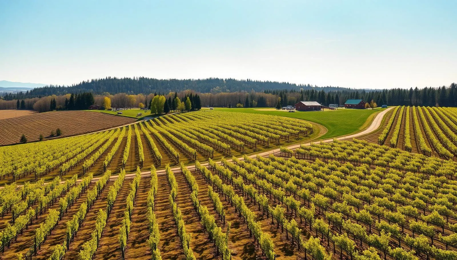
Aerial photograph of orchards and vineyards on the Bench below the escarpment in Lincoln, Ontario
Service Area

Drone Photography in Lincoln

Aerial photography for Lincoln acreage: orchards, vineyards, outbuildings, and lot lines shown the way a rural buyer actually needs to see them.

Advanced RPAS Certified·Mostly uncontrolled airspace, faster scheduling·Family-owned, based on the Bench

Rural land needs a different photograph

In town, a listing photo sells a house. In Lincoln, it usually has to sell a parcel. A buyer looking at ten acres off Victoria Avenue or a fruit farm on the Bench above Jordan wants to know how the land lies: where the tile drainage runs, how the rows are oriented, how far the barn sits from the house, whether the back of the property is workable or bush, and where the property line actually falls relative to the neighbour's windbreak.

None of that is answerable from the ground. Stand at the road and you see a driveway and a treeline. From 250 feet you see the entire holding in one frame, and the conversation with a buyer changes from "how big is it?" to "what would I plant in the back block?"

Lincoln also splits into two visual worlds separated by the escarpment. Below the ridge, the Bench is orderly, planted, and gently sloping: tender fruit orchards, vineyards, and the greenhouse operations along the Twenty. Above the ridge it turns to mixed farmland, bush lots, and larger country estates. Shooting a Bench vineyard and a back-country acreage the same way would waste both.

What we shoot in Lincoln

Acreage and rural real estate

Our lead service here. Every rural package includes a true overhead frame of the whole parcel for orientation, an oblique showing the buildings in relation to the land, a boundary-context set, and approach shots up the drive. On request we annotate the overhead with approximate lot lines and acreage callouts, which agents use directly in listing packages and feature sheets.

Agriculture and orchard operations

Season-by-season records of blossom, canopy, and harvest, replant and block layout documentation, hail or wind damage assessment across a whole block, and imagery for farm-gate and agritourism marketing. Growers use the same set for insurance conversations and for their own planning, and our commercial work covers greenhouse and packing-facility sites along the same corridor.

Country estates and rural venues

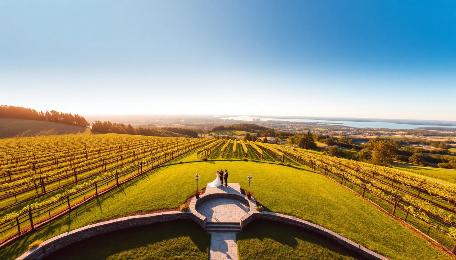
Larger Bench and above-escarpment homes where the setting is the premium, plus the occasional barn or farmhouse wedding. Real estate and agriculture carry Lincoln, but rural venues are a growing share.

Lincoln airspace: mostly uncontrolled, and that works in your favour

Here is the good news, and it is a genuine advantage of rural Niagara: most of Lincoln sits in uncontrolled Class G airspace with no airport geozone over it.

That matters for scheduling. Where a Hamilton Mountain or Niagara-on-the-Lake vineyard shoot may need an authorization request filed days ahead through NAV CANADA, a Lincoln acreage can often be flown as soon as the weather cooperates. If a listing has to go live Friday, we can usually fly Wednesday. We still check current notices and any temporary restrictions before every flight, because uncontrolled does not mean unchecked.

The real constraints in Lincoln are agricultural rather than regulatory. Low-level aerial spraying happens over the Bench during the season and we stay clear of active operations. Bird-scare cannons, wind machines during frost events, and hydro corridors crossing the fruit land all shape where we launch. Spring frost protection nights and harvest weeks mean equipment and crews in the rows, so we coordinate with the grower rather than showing up unannounced.

We fly the escarpment edge itself with care. Wind behaves differently at the brow, and a property that straddles the ridge needs the launch point chosen deliberately. We hold an Advanced RPAS certificate, which means the few Lincoln addresses near the Niagara District Airport footprint on the eastern side are still workable with authorization.

Areas we cover in Lincoln

  • Jordan
  • Jordan Station
  • Jordan Harbour
  • Campden
  • Beamsville Bench
  • Vineland Station
  • Rockway
  • Tintern
  • Victoria Avenue corridor
  • Cherry Avenue fruit lands
  • King Street and the Twenty Valley
  • Above-escarpment farmland toward Fly Road

Common questions

We can add approximate boundary overlays and acreage callouts to an overhead frame for listing use, based on the survey or GeoWarehouse plan you provide. They are marketing illustrations, not a legal survey, and we label them that way.
Usually within a couple of days, weather permitting. Most of Lincoln is uncontrolled airspace, so there is no authorization wait like there is closer to the airports.
Blossom in early to mid May is striking for marketing. Full canopy from late June through August reads as a productive, well-kept block. October gives autumn colour in the vines. Bare rows in late autumn and winter show layout and drainage clearly, which is sometimes exactly what a buyer needs.
Not while an operation is active. We coordinate timing with the grower and stay clear of aerial spraying, wind machines, and equipment in the rows.
Yes. A systematic overhead pass shows damage distribution across an entire block far better than walking it, and the files are dated and geo-tagged for your records.
Pricing
Every Quote is Free

Final pricing depends on property size, duration, and deliverables. We respond within one business day.

Get a Lincoln Quote

Ready to see your Lincoln property from above?

Every quote is free. We respond within one business day.

Get a Free Quote