Niagara-on-the-Lake has the most consequential airspace constraint of any town we serve, and it catches hobbyists out constantly.
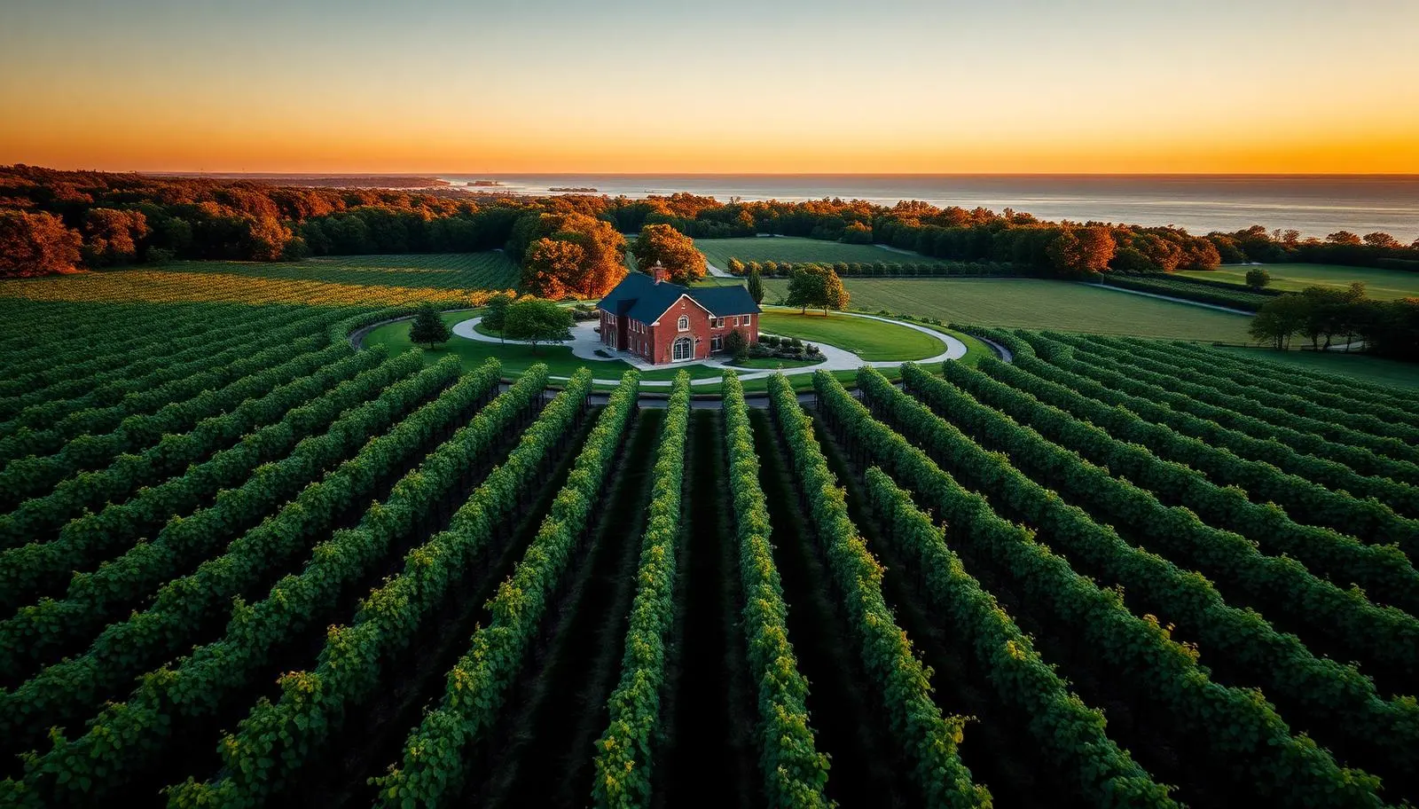
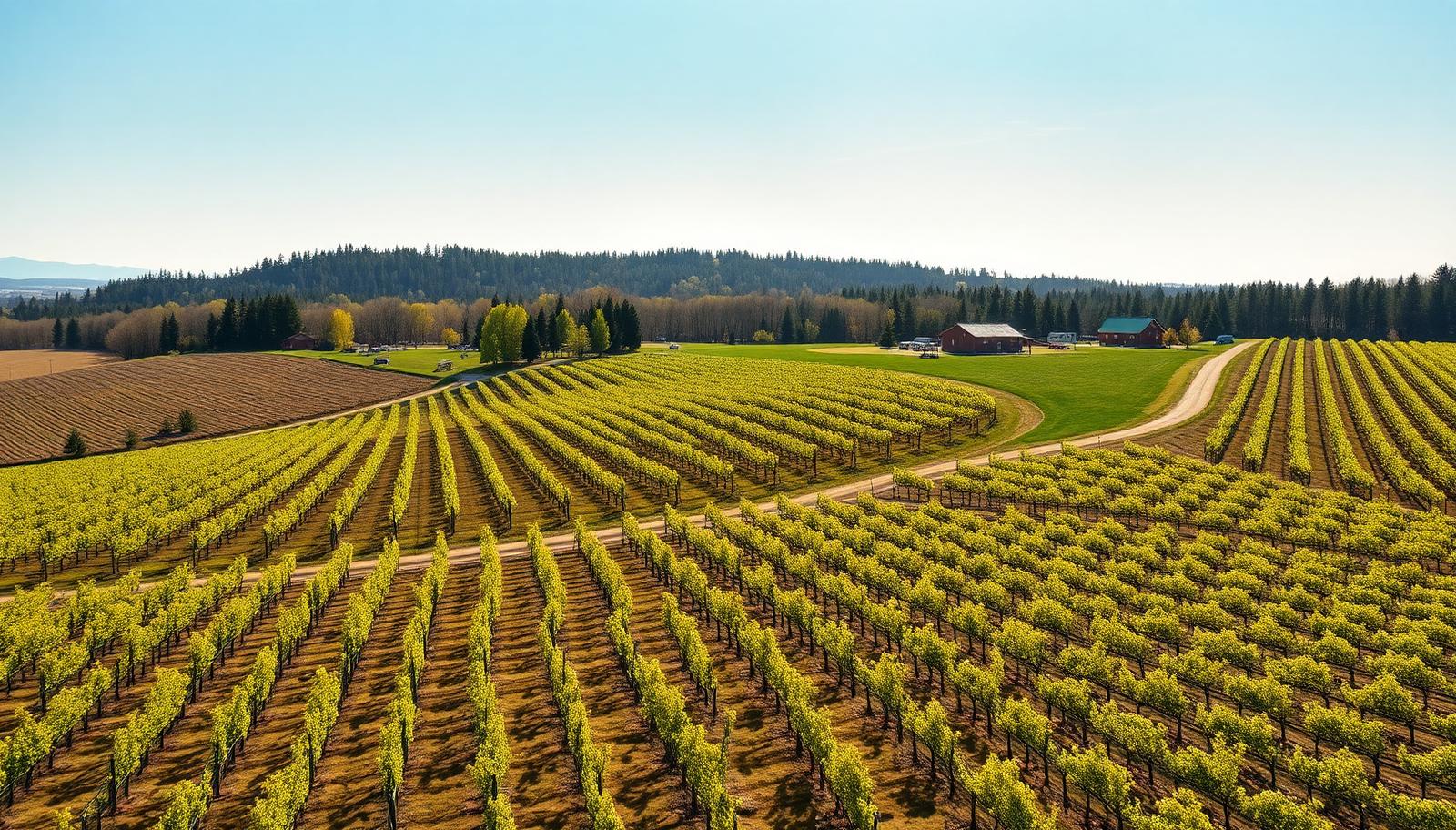
St. Catharines/Niagara District Airport (CYSN) sits on the NOTL border off Niagara Stone Road. As a certified aerodrome it carries an airport geozone, and a large share of the wine-country properties along Line 2, Line 3, Airport Road, and Concession 6 fall inside or close to it. A pilot holding only a Basic RPAS certificate is not permitted to operate inside that geozone at all, which is why some operators quietly decline NOTL vineyard work or, worse, fly anyway.
We hold an Advanced RPAS Pilot Certificate with registered aircraft, so we can request and receive authorization through NAV CANADA's NAV Drone system. For a wedding, that request goes in well ahead of the date, not the morning of. Give us the venue as soon as you have it and the authorization is a non-event.
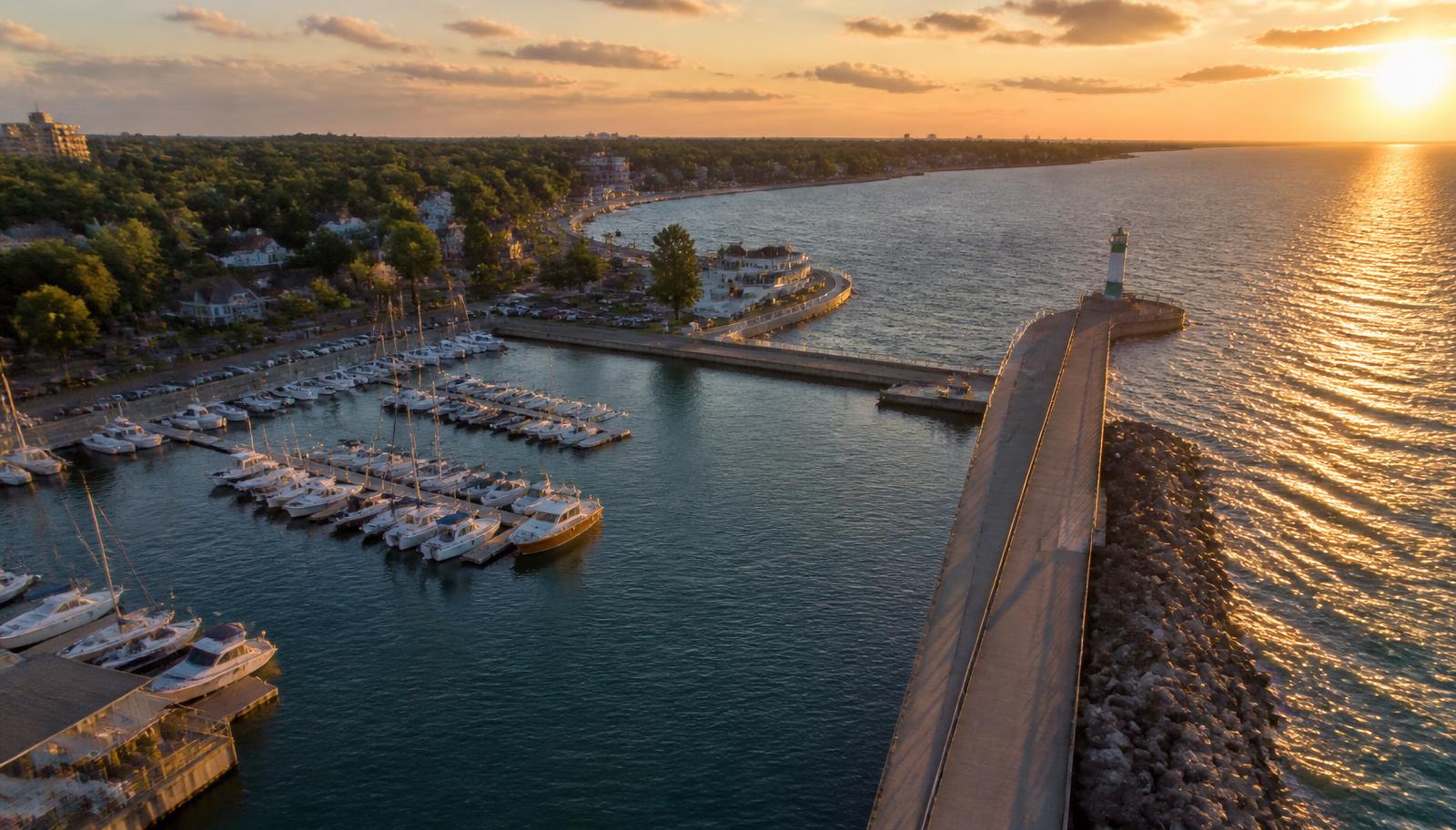
Two other NOTL-specific considerations. First, the Niagara River is an international border: we do not cross the centre line, which shapes how we frame anything along the Parkway or at Queenston. Second, the Old Town heritage district is dense and residential, so we plan launch points on the client's property, keep altitude modest, and avoid overflying neighbouring gardens and patios. Privacy complaints in a town this small travel faster than the footage does.
Shaw Festival performance days, Queen Street events, and harvest traffic all affect where we can safely set up. We check the calendar as well as the notices.