NIAGARAAERIAL MEDIA
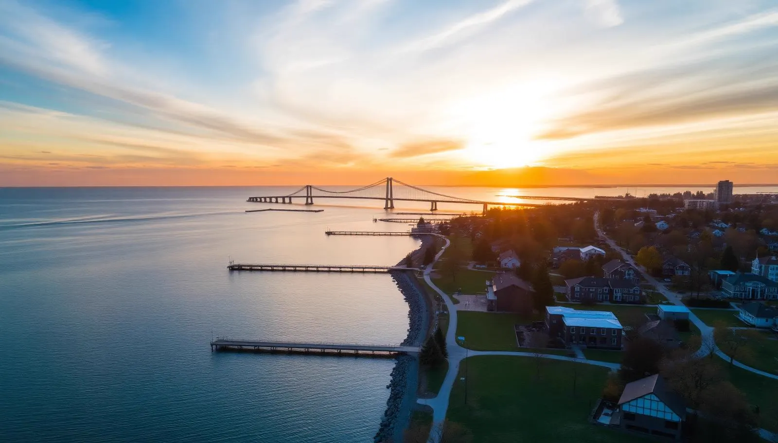
Aerial photograph of the Burlington lakefront at sunset with the lift bridge and Skyway in the distance
Service Area

Drone Photography in Burlington

Listing aerials for Burlington agents and homeowners, from the lakeshore to Tyandaga, with the airspace question answered before the shoot is booked.

Advanced RPAS Certified·Listing-ready delivery, next business day·Family-owned, no travel fee

A real estate city with a lake on one side and a ridge on the other

Burlington is our most straightforwardly residential market, and the geography does most of the selling. The city runs in bands: the lakeshore strip where proximity to the water sets the price, the established grid between Lakeshore Road and the QEW, the newer subdivisions north of Upper Middle, and then the escarpment and Tyandaga edge where lots get large and treed.

Which band a property sits in determines the shot. On the lakeshore, the frame that matters is the one that shows how many streets stand between the house and the water, and whether there is a clear sightline over the rooftops. In Roseland the value is mature canopy and lot depth, best shown from a low orbit in late spring or autumn. Up in Tyandaga and along Cedar Springs it is the ravine, the treeline, and the escarpment backdrop.

The waterfront landmarks give Burlington listings a strong sense of place: Spencer Smith Park and the pier, the Brant Street pier walkway, the lift bridge at the canal, and the Skyway arcing over it. Even from a property several streets back, catching one of them in the background of an establishing shot instantly tells a buyer where they are.

What we shoot in Burlington

Residential listings

The core of our Burlington work. A standard set gives you a high establishing frame showing the property in its neighbourhood, a mid-altitude orbit, lot and boundary context, and a lake or escarpment sightline where one exists. MLS-ready stills are sized and colour-matched to your ground photographer's set, delivered the next business day so nothing holds up the listing.

Waterfront and larger properties

Lakeshore Road homes, Aldershot properties backing onto Grindstone Creek and the RBG lands, and estate lots on the Cedar Springs and Tyandaga side. For these we add a cinematic approach sequence: a reveal that starts wide over the trees or water and settles on the house, which works well as the opening ten seconds of a listing video.

Local business and venue content

Waterfront restaurants, condo developments, plaza and commercial property marketing, and occasional wedding and event coverage at the golf clubs and waterfront venues. Steady work, but real estate leads here.

Burlington airspace: caught between Hamilton and Toronto

Burlington looks easy on a map and is more constrained than most agents expect, because it sits in the overlap between two busy airspace systems.

To the southwest, John C. Munro Hamilton International (CYHM) is a certified airport whose controlled airspace and geozone reach toward the western end of the city and the Aldershot and Waterdown side. To the northeast, the Toronto terminal airspace serving Pearson pushes down over the Halton lakeshore, with structured arrival and departure traffic overhead. Add Burlington Executive aerodrome to the north and the Hamilton air-ambulance and police helicopter traffic along the lake, and the sky over this city is genuinely busier than the quiet residential streets suggest.

In practice most Burlington listings are workable with normal planning, and a good number sit in uncontrolled airspace where we can fly on short notice. But the boundary does not follow a road you can point at, which is why we check the exact civic address rather than the neighbourhood. Our Advanced RPAS certificate lets us request authorization through NAV CANADA's NAV Drone system where the address falls inside controlled airspace, so a listing near the western edge is a scheduling question rather than a refusal.

Two local constraints worth knowing. The Royal Botanical Gardens and Burlington's waterfront parks are municipal or agency property, so we launch from the client's property rather than from a park, and downtown lakeshore condo towers create wind funnelling that we plan around rather than fight.

Neighbourhoods we cover in Burlington

  • Downtown and Spencer Smith Park
  • Roseland
  • Aldershot
  • Tyandaga
  • Brant Hills
  • Shoreacres
  • Elizabeth Gardens
  • The Orchard
  • Millcroft
  • Cedar Springs and the escarpment north of Dundas Street
  • Burlington Beach and the lift bridge canal
  • Kilbride and Lowville

Common questions

Edited, MLS-sized stills are delivered the next business day for standard listing packages. Video takes longer depending on the edit, and we will give you a firm date when we quote.
Parts of it. The western and Aldershot side sits closer to Hamilton International's controlled airspace, and Toronto terminal airspace overlies the lakeshore at altitude. Much of the city is uncontrolled and can be flown on short notice. We check the exact address before confirming.
Often, depending on where the property sits and the sightline over the rooftops. We can also compose the pier and waterfront into an establishing shot from properties a few streets back from the lake.
No. Burlington is inside our core service area and there is no travel surcharge.
No. Those are municipal parks with their own rules, so we launch and land from the client's property or other private land with permission, and compose the waterfront from there.
Pricing
Every Quote is Free

Final pricing depends on property size, duration, and deliverables. We respond within one business day.

Get a Burlington Quote

Ready to see your Burlington property from above?

Every quote is free. We respond within one business day.

Get a Free Quote