This is where St. Catharines gets more complicated than most of Niagara, and it's worth understanding before you hire anyone.
St. Catharines/Niagara District Airport (CYSN) sits just east of the city on the Niagara-on-the-Lake border. As a certified aerodrome it carries a 3 nautical mile geozone, and the eastern side of the city, Port Weller and parts of north Grantham, sits close to or inside that boundary. A pilot holding only a Basic RPAS certificate cannot legally operate inside an airport geozone at all.
We hold a Transport Canada Advanced RPAS Pilot Certificate with registered, compliant aircraft, which means we can request and receive authorization to fly in controlled airspace through NAV CANADA's NAV Drone system. For every St. Catharines booking we check the geozone and NOTAMs against the exact shoot address before confirming the date, not after arriving.
If a shoot falls in controlled airspace, authorization takes time to process. Book eastern St. Catharines and Port Weller properties with a few days' lead where you can.
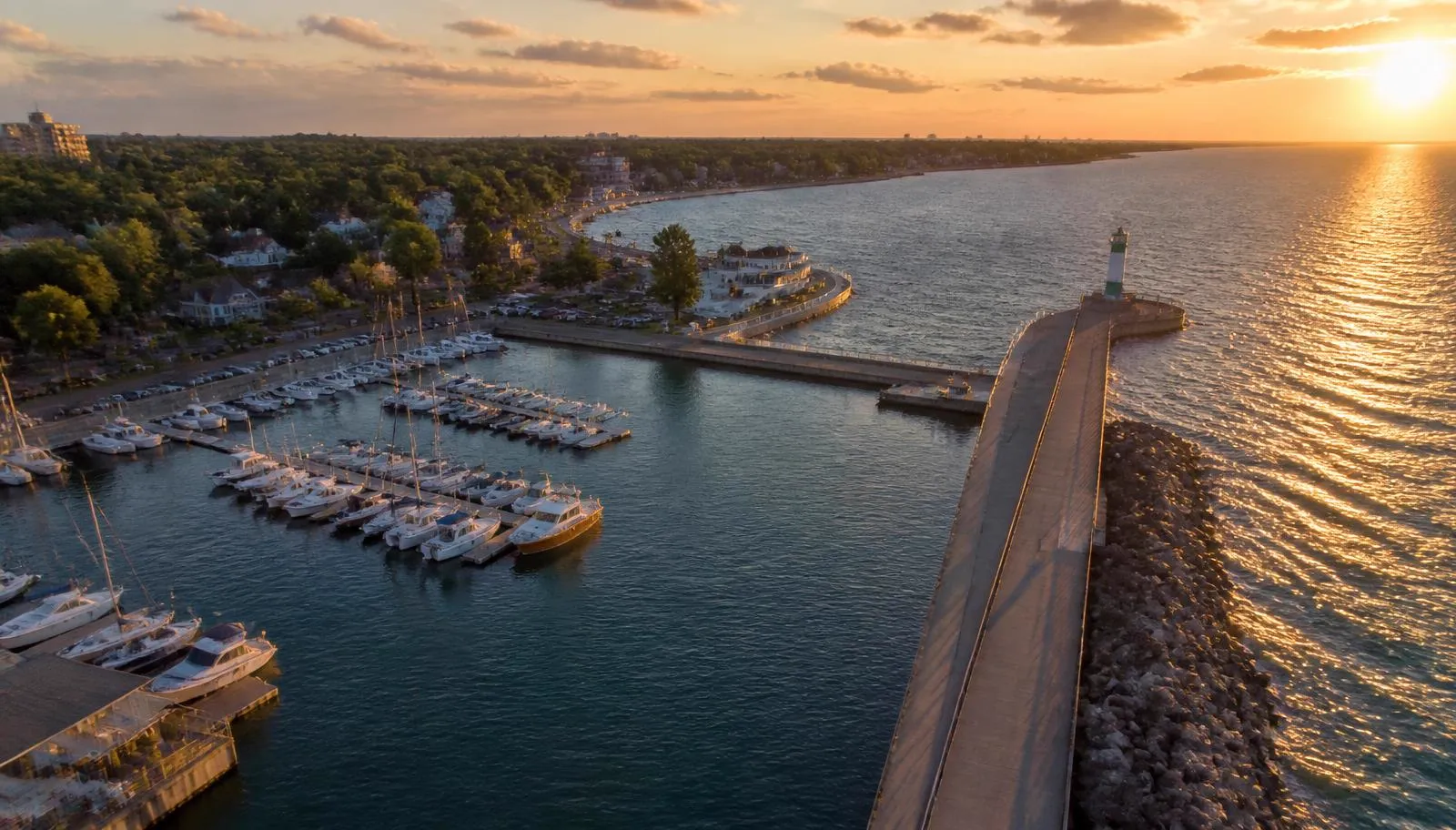
We also plan around the Welland Canal corridor and active shipping, and around Royal Canadian Henley Regatta week at Martindale Pond, when Port Dalhousie gets busy in the air and on the water.
Bottom line: ask any drone photographer whether they're Basic or Advanced certified. In this city, it's the difference between a legal flight and a cancelled one.