NIAGARAAERIAL MEDIA
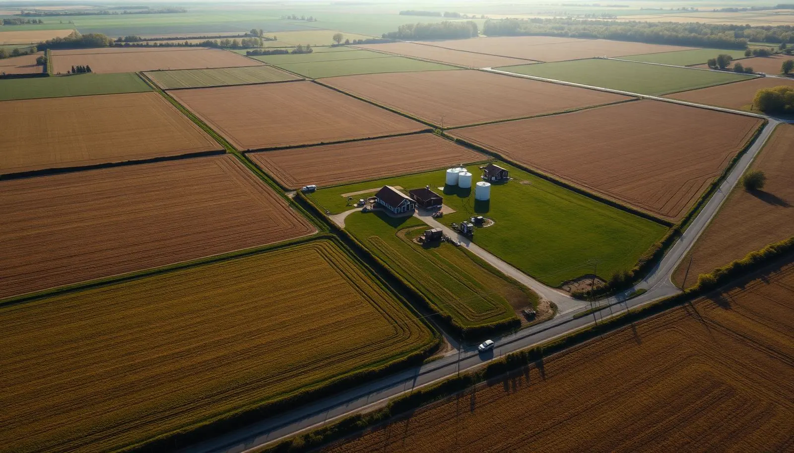
Aerial photograph of farmland parcels, field boundaries, and a farmstead near Smithville in West Lincoln, Ontario
Service Area

Drone Photography in Smithville

For West Lincoln farms and large parcels, aerial is not a nice extra. It is the only way to show what you are actually selling.

Advanced RPAS Certified·Uncontrolled airspace, quick booking·Family-owned, based nearby in Beamsville

You cannot photograph 80 acres from the driveway

That is the entire argument for aerial work in West Lincoln, and it does not need dressing up. A hundred-acre cash crop farm on Regional Road 20, a hog or dairy operation off Canborough Road, a rural commercial yard with equipment storage: from the road all you see is a gate, a mailbox, and the front of one building. A buyer, a lender, or a prospective tenant learns nothing.

One overhead frame answers everything at once. Total extent and shape of the parcel. How the fields are broken up and where the hedgerows and drainage run. Every building on the property and how they relate to each other and to the road. Where the workable land ends and the bush begins. Access for equipment. Neighbouring uses. That single image does more work than twenty ground photos, which is why farm listings with an aerial overhead get taken seriously and ones without get passed over.

West Lincoln is also genuinely uncontested. Very few certified operators bother coming out this far, so most listings here are still marketed with phone photos from the shoulder of the road. That is an opening if you are the one selling the property.

What we shoot in Smithville and West Lincoln

Farm and large-parcel listings

The core service. Each package includes a true overhead of the full parcel for orientation, obliques from each cardinal direction, a building and yard set, and optional approximate boundary and acreage overlays for the feature sheet. Agents use these directly in rural listing packages, and we size files for both MLS and print.

Agricultural and commercial sites

Barn, bin, and outbuilding condition imagery, yard and laneway layout, stockpile and equipment inventory overviews, and full-site reference sets for insurance or expansion planning. Rural commercial and industrial work here often means documenting a site nobody has ever seen from above.

Estate, succession, and family records

A proper aerial record of a family farm before a sale, a severance, or a generational handover. These get printed and framed more often than any other job we do, and we shoot them accordingly.

West Lincoln airspace: about as unrestricted as it gets

Smithville and the surrounding township sit in uncontrolled Class G airspace, well clear of the Hamilton and Niagara District airport geozones. For a farm or rural site here, there is no authorization request, no waiting on NAV CANADA, and no boundary to argue about. We check current notices, confirm the weather window, and fly.

What we do plan around is agricultural and utility activity. Aerial spraying operates at low level over these fields in season and we stay well clear. Grain drying, harvest equipment, and livestock movement mean coordinating a window with the operator. Hydro transmission corridors and rural wind installations cross parts of the township, and they set both a hazard and a framing consideration. Livestock barns get a wide berth, since a drone passing low over an open yard is a real disturbance risk.

We hold an Advanced RPAS Pilot Certificate with registered aircraft. Out here it is less about needing permission and more about the training standard behind it: large parcels mean long flight lines, and keeping visual line of sight across 80 acres takes planning rather than luck.

Areas we cover in West Lincoln

  • Smithville village
  • Regional Road 20 corridor
  • Caistor Centre
  • Caistorville
  • Wellandport
  • St. Ann's
  • Bismarck
  • Canborough Road farmland
  • Silver Street and the Twenty Mile Creek headwaters
  • Abingdon
  • Grassie
  • South Grimsby Road parcels

Common questions

Yes. A single visit covers a true overhead of the full parcel, obliques from each direction, and detail sets on the buildings and yard. Large parcels need planned flight lines to maintain visual line of sight, which is part of what we do on arrival.
We can overlay approximate lines and acreage on an overhead frame using the survey or plan you supply, labelled as an illustration rather than a survey document.
No. We are based in Beamsville, so West Lincoln is a short drive and there is no travel surcharge. Very few certified operators come out this way, which is exactly why we do.
Rarely. We work around equipment and livestock rather than interrupting them, though we do stay clear of active spraying and will pick a different window if a field operation is running.
Usually within a couple of days. The airspace is uncontrolled here, so weather is the only real scheduling constraint.
Pricing
Every Quote is Free

Final pricing depends on property size, duration, and deliverables. We respond within one business day.

Get a Smithville Quote

Ready to see your Smithville property from above?

Every quote is free. We respond within one business day.

Get a Free Quote